Convective Outlook for Oct 06, 2026
Issued as Day 1 Convective Outlook at · Valid:
Summary
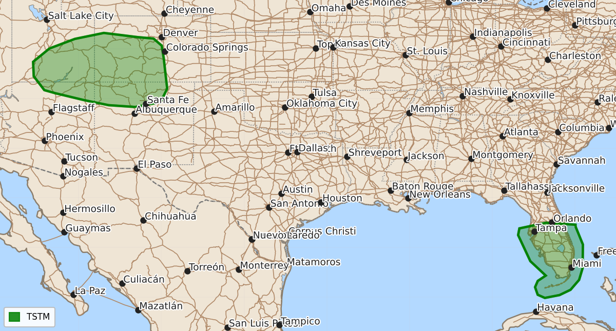
No severe thunderstorms are expected through tonight, though isolated storms may still develop over portions of the Florida Peninsula.
Product Text
000 ACUS01 KWNS 070058 SWODY1 SPC AC 070056 Day 1 Convective Outlook NWS Storm Prediction Center Norman OK 0756 PM CDT Tue Oct 06 2026 Valid 070100Z - 071200Z ...NO SEVERE THUNDERSTORM AREAS FORECAST... ...SUMMARY... Severe thunderstorms are not expected through tonight. ...Synopsis... A northwesterly upper flow regime continues across the CONUS as a mid-level jet overspreads the northern Plains from the south-central Canadian provinces. Surface high pressure remains in place east of the MS River and west of the Rockies, with subsidence limiting thunderstorm development over much of the CONUS. Isolated thunderstorm development is still possible over portions of the FL Peninsula. Earlier, transient rotating storms attempted to reach the western peninsula shoreline, but weakened when approaching land. With nocturnal cooling, and the weak surface low expected to meander over the eastern Gulf, the current thinking is that thunderstorms should only decrease in number and intensity through the night. While a brief, land-falling waterspout cannot be ruled out, the tornado threat appears low enough for the removal of severe probabilities. ..Squitieri.. 10/07/2026 $$