Convective Outlook for Oct 19, 2026
Issued as Day 1 Convective Outlook at · Valid:
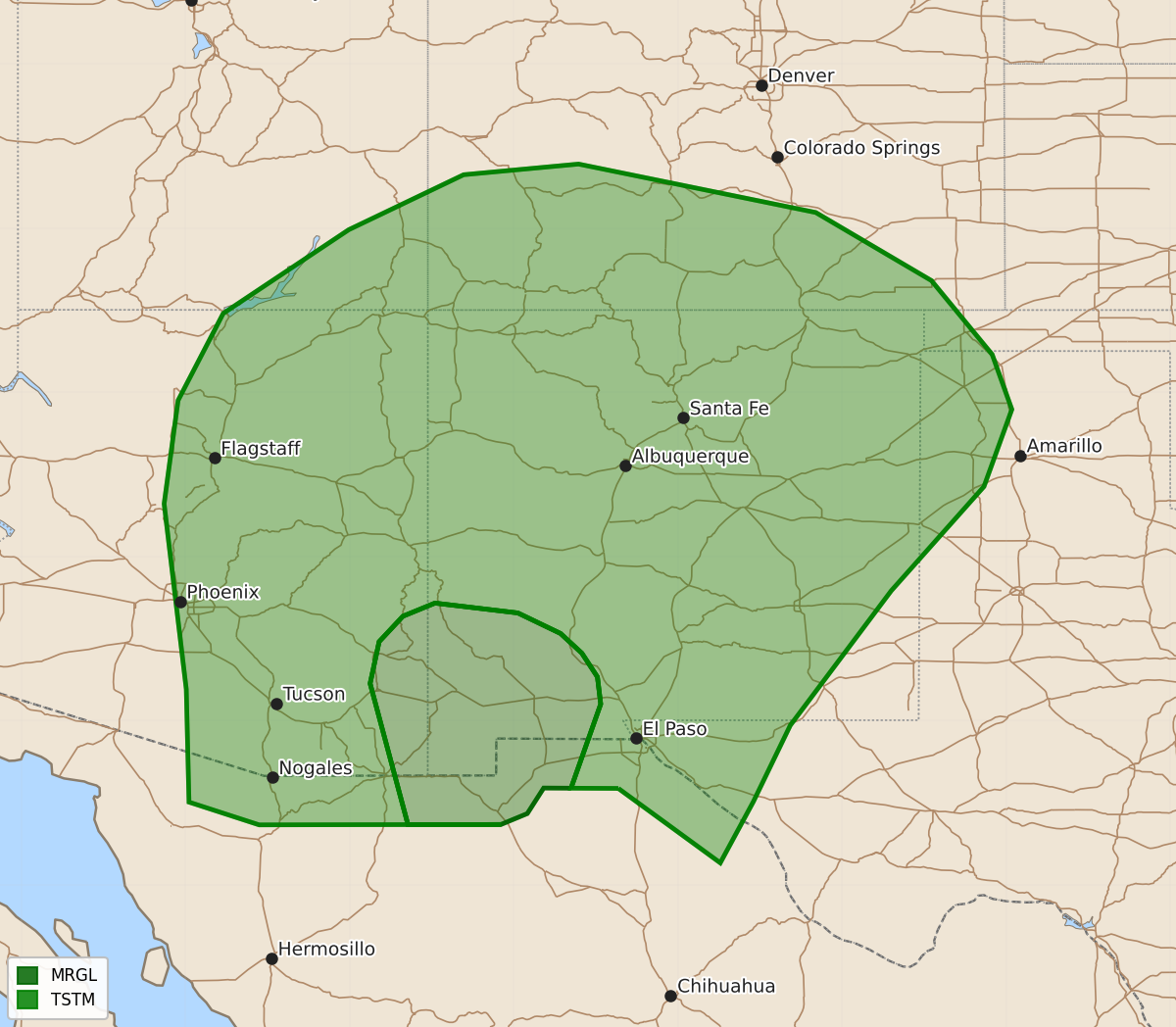
Summary
Isolated severe thunderstorms capable of producing hail and wind gusts are possible across parts of southeast Arizona and southwest New Mexico this evening.
Product Text
000 ACUS01 KWNS 200054 SWODY1 SPC AC 200052 Day 1 Convective Outlook NWS Storm Prediction Center Norman OK 0752 PM CDT Mon Oct 19 2026 Valid 200100Z - 201200Z ...THERE IS A MARGINAL RISK OF SEVERE THUNDERSTORMS ACROSS PARTS OF SOUTHEAST ARIZONA AND SOUTHWEST NEW MEXICO... ...SUMMARY... Thunderstorms with isolated severe gusts and hail will be possible this evening across parts of southeast Arizona and southwest New Mexico. ...Southeast Arizona/Southwest New Mexico... Latest water vapor imagery shows a minor shortwave trough moving through the Desert Southwest. An associated mid-level jet is analyzed by the RAP over northwestern Mexico and southeastern Arizona. Lift associated with the jet is providing support for scattered thunderstorm development this evening. Near the exit of the jet, a small cluster of storms is ongoing from far southeast Arizona into southwest New Mexico along the eastern edge of a corridor of instability. Within this corridor, the RAP has SBCAPE from 1000 to 1500 J/kg. The RAP also has about 40 knots of 0-6 km shear. This may be enough for an isolated threat for severe wind gusts and hail for another hour or two this evening. ..Broyles.. 10/20/2026 $$