Convective Outlook for Oct 26, 2026
Issued as Day 1 Convective Outlook at · Valid:
Summary
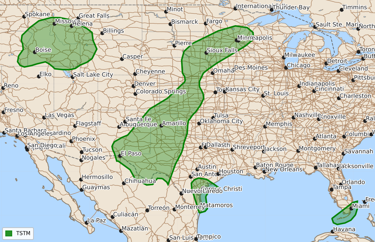
Isolated thunderstorms may develop across far west Texas and southeast New Mexico this afternoon, though the overall threat of severe weather remains low.
Product Text
000 ACUS01 KWNS 261627 SWODY1 SPC AC 261625 Day 1 Convective Outlook NWS Storm Prediction Center Norman OK 1125 AM CDT Mon Oct 26 2026 Valid 261630Z - 271200Z ...NO SEVERE THUNDERSTORM AREAS FORECAST... ...SUMMARY... While a strong thunderstorm or two may occur this afternoon across far west Texas into southeast New Mexico, organized severe thunderstorm potential should remain fairly low. ...Far West Texas/Southeast New Mexico... Widespread cloudiness remains over much of the southern High Plains as of late morning, with the primary mid-level shortwave trough over the central Rockies expected to move northeastward across the central/northern Plains through tonight. Another weak, low-amplitude shortwave trough will continue to advance northeastward over the southern High Plains this afternoon. This feature should aid isolated to scattered thunderstorm development across this region in the 20-22Z time frame. Modest heating of moist low levels coupled with cool temperatures aloft should support around 500-1500 J/kg of MLCAPE, with the greatest instability forecast across far west TX/southeast NM where some clearing has occurred. However, mid-level flow and related deep-layer shear should both remain fairly modest (generally 20-25 kt or less). While a stronger thunderstorm or two may develop this afternoon, the overall severe hail/wind threat still appears too limited/isolated to justify including low severe probabilities with this update. ..Gleason/Halbert.. 10/26/2026 $$