Convective Outlook for Oct 27, 2026
Issued as Day 1 Convective Outlook at · Valid:
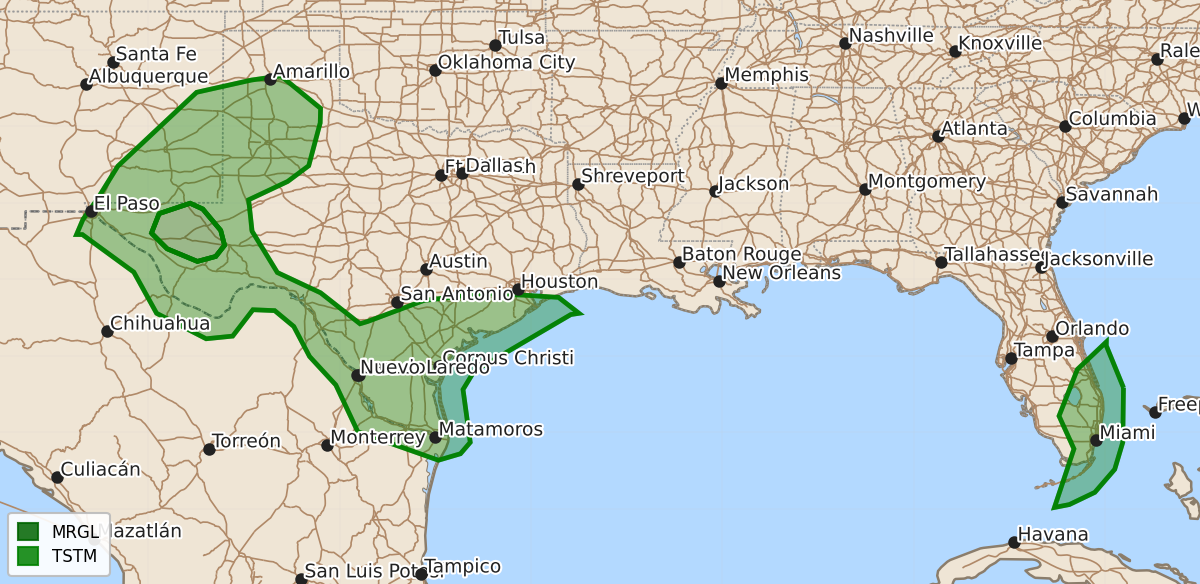
Summary
Isolated severe thunderstorms may occur across portions of Far West Texas for a few more hours this evening, with a risk of large hail.
Product Text
000 ACUS01 KWNS 280102 SWODY1 SPC AC 280059 Day 1 Convective Outlook NWS Storm Prediction Center Norman OK 0759 PM CDT Tue Oct 27 2026 Valid 280100Z - 281200Z ...THERE IS A MARGINAL RISK OF SEVERE THUNDERSTORMS ACROSS PORTIONS OF FAR WEST TEXAS... ...SUMMARY... Isolated severe thunderstorms are possible for a few more hours this evening across a small portion of Far West Texas. ...Discussion... A remaining storm or two could pose an isolated large hail threat for the next few hours before weakening with the loss of daytime heating. Will maintain the Marginal Risk for this short term threat, but the severe weather threat will be minimal for the remainder of the overnight period. ..Bentley.. 10/28/2026 $$