Convective Outlook for Nov 04, 2026
Issued as Day 3 Convective Outlook at · Valid:
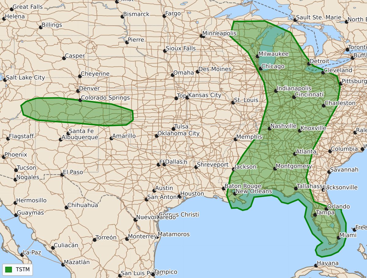
Summary
Severe thunderstorms are unlikely across the country on Wednesday.
Product Text
000 ACUS03 KWNS 021928 SWODY3 SPC AC 021927 Day 3 Convective Outlook NWS Storm Prediction Center Norman OK 0127 PM CST Mon Nov 02 2026 Valid 041200Z - 051200Z ...NO SEVERE THUNDERSTORM AREAS FORECAST... ...SUMMARY... Severe storms are unlikely on Wednesday. ...Synopsis... A cyclone is forecast to occlude in the vicinity of WI as a cold front slows its eastward movement late in the period across the upper OH Valley, and stalls across the TN/lower MS Valley region. The southern extent of an associated midlevel trough will brush the northern edge of a weakly unstable warm sector early in the period. Forcing for ascent and low-level flow/shear will tend to weaken within the warm sector by afternoon, so any threat for severe storms in the vicinity of northern AL appears too marginal for an outlook area. Otherwise, isolated lightning flashes will be possible into parts of the Great Lakes with marginal buoyancy. Farther west, a shortwave trough will progress quickly eastward over the Four Corners to the southern High Plains late in the period. Ascent in the left-exit region of the mid-upper jet streak, in combination with sufficient moisture and steep lapse rates, will support the potential for lightning flashes with low-topped convection. ..Thompson.. 11/02/2026 $$