Mesoscale Discussion 2389
Issued as Mesoscale Discussion 2389 at · Valid:
Summary
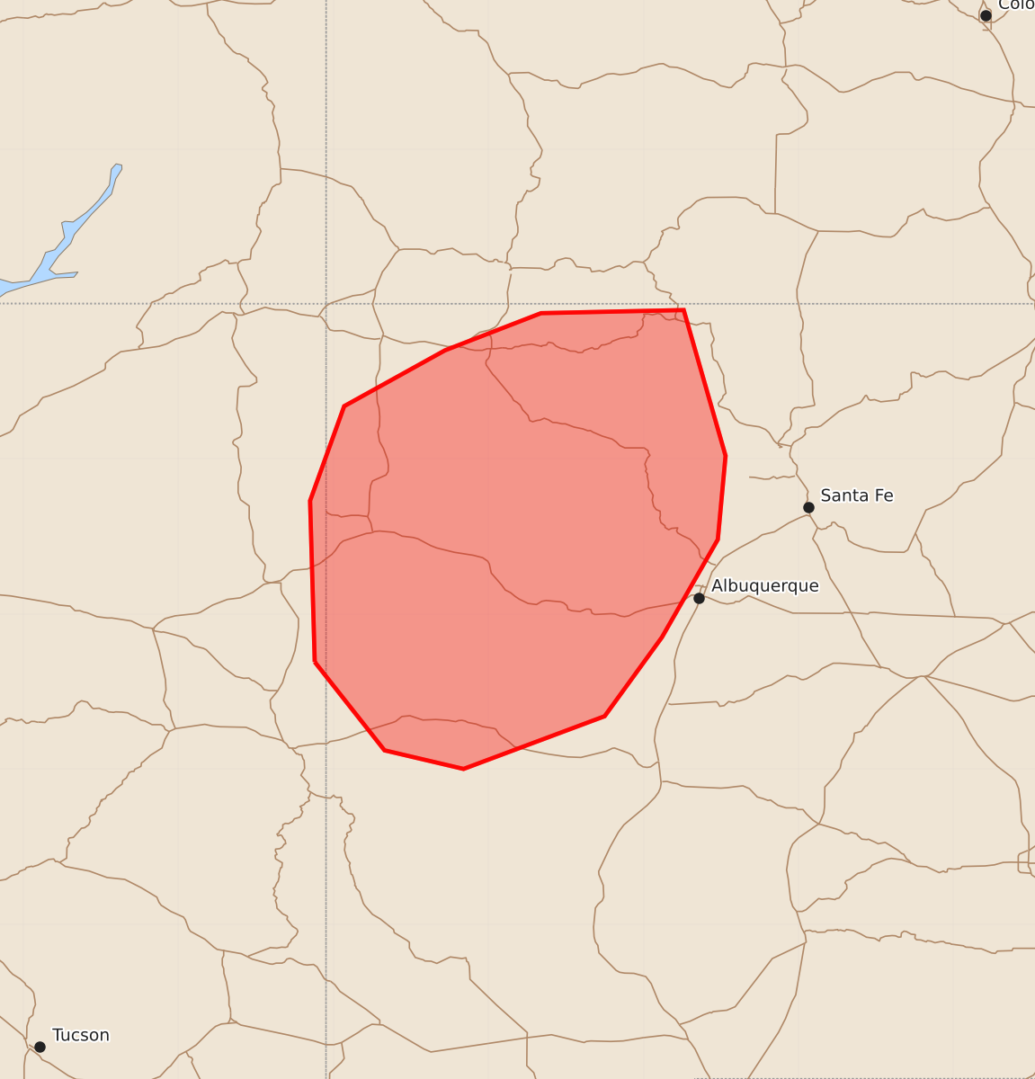
Increasingly intense thunderstorms are expected across northwestern New Mexico through the afternoon, with some storms capable of producing large hail and damaging winds.
Product Text
000 ACUS11 KWNS 212141 SWOMCD SPC MCD 212141 NMZ000-AZZ000-220015- Mesoscale Discussion 2389 NWS Storm Prediction Center Norman OK 0441 PM CDT Wed Oct 21 2026 Areas affected...northwestern New Mexico Concerning...Severe potential...Watch unlikely Valid 212141Z - 220015Z Probability of Watch Issuance...20 percent SUMMARY...Storms are expected to increase in coverage and intensity through the afternoon across northwestern New Mexico. The strongest storms will be capable of producing large hail and damaging winds, but the severe coverage is expected to be too isolated to warrant a watch. DISCUSSION...Surface heating throughout the day has resulted in modest destabilization across western New Mexico. As a result, thunderstorms have developed over the area and will continue to increase in coverage and intensity over the next few hours as they move to the northeast. While low-level moisture (low 50s surface dewpoints) is limiting instability and updraft strength, deep-layer shear is sufficient to support organized updrafts, including supercell structures. The strongest and longest-lived updrafts will be capable of producing large hail and strong wind gusts, but the overall threat is expected to remain too isolated for a watch. ..Jirak/Smith.. 10/21/2026 ...Please see www.spc.noaa.gov for graphic product... ATTN...WFO...ABQ...FGZ... LAT...LON 34690912 35730915 36340893 36700828 36940766 36960674 36020647 35480652 34850688 34340725 34000816 34120867 34690912 MOST PROBABLE PEAK WIND GUST...UP TO 60 MPH MOST PROBABLE PEAK HAIL SIZE...UP TO 1.25 IN