Mesoscale Discussion 2400
Issued as Mesoscale Discussion 2400 at · Valid:
Summary
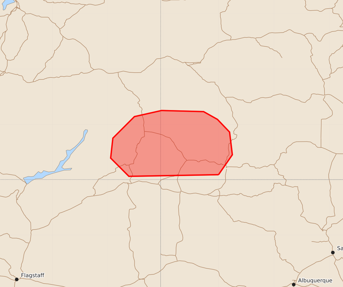
Severe wind gusts and large hail are expected to move northward across parts of southeastern Utah and southwestern Colorado through the late afternoon.
Product Text
000 ACUS11 KWNS 222015 SWOMCD SPC MCD 222014 COZ000-UTZ000-222145- Mesoscale Discussion 2400 NWS Storm Prediction Center Norman OK 0314 PM CDT Thu Oct 22 2026 Areas affected...Parts of southeastern Utah and southwestern Colorado Concerning...Severe potential...Watch likely Valid 222014Z - 222145Z Probability of Watch Issuance...80 percent SUMMARY...The severe risk is expected to spread northward, with the main concerns being severe wind gusts and large hail. A watch will likely be needed. DISCUSSION...Clouds have gradually cleared from south to north into parts of southeastern UT and southwestern CO, yielding boundary-layer destabilization. Despite relatively weak buoyancy, strengthening large-scale forcing for ascent preceding the midlevel low/trough over CA and strengthening deep-layer wind fields (around 60 kt of 0-6 km shear per GJX VWP) should still support organized clusters and supercell structures developing/spreading into the area from the south. The primary concerns will be large hail and severe wind gusts, though a tornado cannot be entirely ruled out -- given modest low-level shear/hodograph curvature. A watch will likely be needed. ..Weinman/Guyer.. 10/22/2026 ...Please see www.spc.noaa.gov for graphic product... ATTN...WFO...GJT... LAT...LON 37090800 37060962 37390995 37750991 38140952 38250903 38230827 38090802 37860780 37450775 37090800 MOST PROBABLE PEAK TORNADO INTENSITY...UP TO 90 MPH MOST PROBABLE PEAK WIND GUST...55-70 MPH MOST PROBABLE PEAK HAIL SIZE...1.00-1.75 IN