Mesoscale Discussion 2409
Issued as Mesoscale Discussion 2409 at · Valid:
Summary
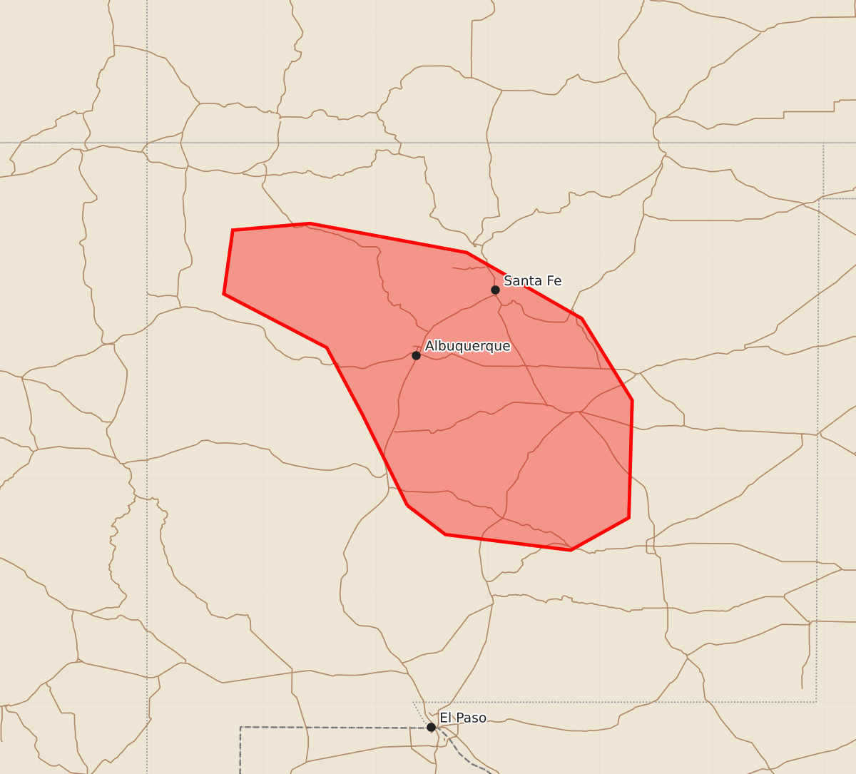
Isolated marginally severe hail and gusty winds may occur during thunderstorms this afternoon across portions of northern and central New Mexico.
Product Text
000 ACUS11 KWNS 251854 SWOMCD SPC MCD 251854 NMZ000-252130- Mesoscale Discussion 2409 NWS Storm Prediction Center Norman OK 0154 PM CDT Sun Oct 25 2026 Areas affected...Portions of northern/central New Mexico Concerning...Severe potential...Watch unlikely Valid 251854Z - 252130Z Probability of Watch Issuance...5 percent SUMMARY...Isolated/marginally severe hail and gusty winds may occur with thunderstorms that develop this afternoon. DISCUSSION...Persistent cloudiness through much of the morning has hindered diurnal heating/destabilization, but recent clearing has occurred across parts of northern/central NM. As surface temperatures continue to warm into the 60s and large-scale ascent attendant to an ejecting mid/upper-level trough overspreads this region, convection is forecast to gradually increase in coverage as weak boundary-layer instability develops. A belt of stronger south-southwesterly mid-level flow will remain over much of NM this afternoon, and related 40-50+ kt of deep-layer shear will support updraft organization. However, generally weak instability (less than 1000 J/kg of MLCAPE) and modest mid-level lapse rates (especially around/above 500 mb) are expected to limit the overall severe risk. Isolated/marginally severe hail should be the main threat with any cells that develop and track northeastward over the next several hours. Some risk for locally gusty winds may also exist where low-level lapse rates can become steepened with daytime heating. Given the isolated severe risk forecast, watch issuance is not expected at this time. ..Gleason/Mosier.. 10/25/2026 ...Please see www.spc.noaa.gov for graphic product... ATTN...WFO...ABQ... LAT...LON 33760672 34570712 35170744 35650836 36220828 36280759 36020619 35430516 34700471 33650474 33360526 33500638 33760672 MOST PROBABLE PEAK TORNADO INTENSITY...UP TO 90 MPH MOST PROBABLE PEAK WIND GUST...UP TO 60 MPH MOST PROBABLE PEAK HAIL SIZE...UP TO 1.25 IN