Mesoscale Discussion 2418
Issued as Mesoscale Discussion 2418 at · Valid:
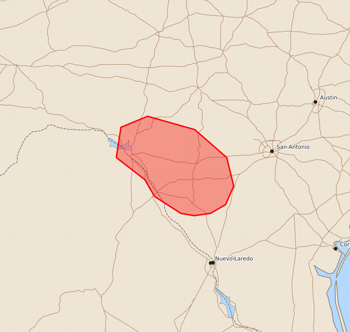
Summary
Brief tornadoes may occur in portions of south Texas over the next couple of hours.
Product Text
000 ACUS11 KWNS 292348 SWOMCD SPC MCD 292348 TXZ000-300045- Mesoscale Discussion 2418 NWS Storm Prediction Center Norman OK 0648 PM CDT Thu Oct 29 2026 Areas affected...portions of south Texas Concerning...Severe potential...Watch unlikely Valid 292348Z - 300045Z Probability of Watch Issuance...5 percent SUMMARY...A brief tornado or two remain possible over the next couple of hours with low-topped supercells. DISCUSSION...A few transient, low-topped supercells have exhibited some low-level rotation over the past hour or so, with one storm accompanied by a TDS and another with a funnel cloud/possible tornado sighting. These storms are progressing to the west-northwest within a broader low-level warm-air/moisture advection regime. Overall buoyancy and vertical wind shear are quite mediocre per latest mesoanalysis. However, EWX and DFX VAD profiles show low-level hodographs with appreciable curvature. Given that a south-southeasterly low-level jet will only increase in magnitude this evening, low-level shear should remain favorable for additional organized updrafts to become low-topped supercells, perhaps accompanied by a brief tornado threat before the boundary layer decouples later this evening. Nonetheless, any tornado threat that persists into the evening should be quite brief and/or localized. ..Squitieri/Guyer.. 10/29/2026 ...Please see www.spc.noaa.gov for graphic product... ATTN...WFO...CRP...EWX... LAT...LON 29310117 29830109 30020063 29799982 29319927 28829915 28509929 28359955 28319983 28350006 28640051 28930068 29310117 MOST PROBABLE PEAK TORNADO INTENSITY...UP TO 90 MPH