Mesoscale Discussion 2425
Issued as Mesoscale Discussion 2425 at · Valid:
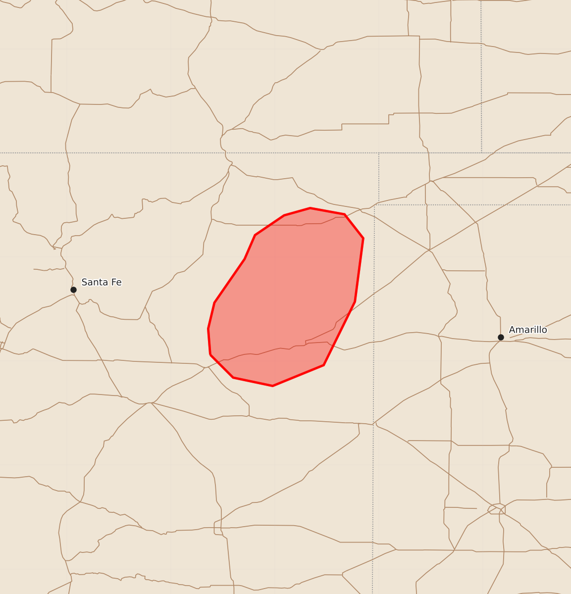
Summary
Parts of northeastern New Mexico face an increasing threat of severe wind gusts and tornadoes through the early evening.
Product Text
000 ACUS11 KWNS 020215 SWOMCD SPC MCD 020214 NMZ000-020345- Mesoscale Discussion 2425 NWS Storm Prediction Center Norman OK 0814 PM CST Sun Nov 01 2026 Areas affected...Parts of northeastern New Mexico Concerning...Severe Thunderstorm Watch 699... Valid 020214Z - 020345Z The severe weather threat for Severe Thunderstorm Watch 699 continues. SUMMARY...The risk for severe wind gusts and gradually increasing tornado potential is expected across parts of northeastern New Mexico. A downstream watch is forthcoming. DISCUSSION...A line of thunderstorms is tracking eastward across parts of northeastern NM, with periodic increases in intensity and organization. Over the next hour or two, this activity will continue moving into a corridor of lower 60s F dewpoints -- contributing to 1000-1500 J/kg MLCAPE (per HRRR mesoanalysis). This relative increase in buoyancy, combined with a strengthening low-level jet/mass response (50 kt flow at 1 km AGL per FDX), should support a continued increase in severe-wind potential. Additionally, an enlarged/clockwise-curved low-level hodograph (around 250 m2/s2 0-1 km SRH per FDX VWP) will also support increasing tornado potential with any embedded mesovorticies/supercells. A downstream watch is forthcoming for this area, along with much of eastern NM into the TX/OK Panhandles. ..Weinman.. 11/02/2026 ...Please see www.spc.noaa.gov for graphic product... ATTN...WFO...ABQ... LAT...LON 35060462 35310464 35560458 35980429 36210419 36400391 36470366 36410333 36180315 35570323 34960353 34760402 34840440 35060462 MOST PROBABLE PEAK TORNADO INTENSITY...100-125 MPH MOST PROBABLE PEAK WIND GUST...65-80 MPH MOST PROBABLE PEAK HAIL SIZE...UP TO 1.25 IN