Mesoscale Discussion 2428
Issued as Mesoscale Discussion 2428 at · Valid:
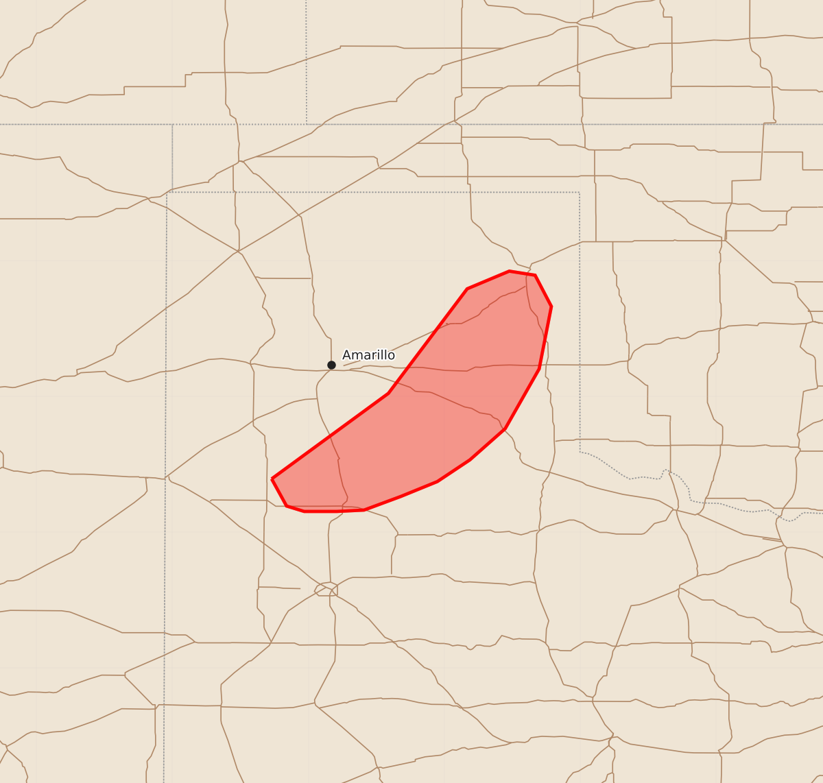
Summary
Severe thunderstorms with potential for wind gusts up to 60 mph and hail up to 1.25 inches may affect parts of the Texas Panhandle through the early morning hours.
Product Text
000 ACUS11 KWNS 020901 SWOMCD SPC MCD 020901 TXZ000-021100- Mesoscale Discussion 2428 NWS Storm Prediction Center Norman OK 0301 AM CST Mon Nov 02 2026 Areas affected...Parts of the Texas Panhandle Concerning...Severe potential...Watch unlikely Valid 020901Z - 021100Z Probability of Watch Issuance...5 percent SUMMARY...The severe threat is waning across the Texas Panhandle as thunderstorms become displaced behind a surface cold pool. Additional watch issuance will not be needed. DISCUSSION...Overall convective intensity has been waning over the past hour per MRMS echo tops and GOES IR imagery. Although occasional updraft pulses continue to be noted, convection along/within the primary band appears to be elevated and displaced behind the surface cold pool. Consequently, the potential for robust surface-based convection is quickly diminishing despite some lingering MUCAPE and strong deep-layer wind shear. A few shallow convective towers are noted along the NM/TX state line to the west of Lubbock, TX. Recent guidance, notably the 06z HRRR, suggests that this activity could intensify as it moves east across a plume of 1000-1500 MUCAPE. However, given the anemic radar and satellite presentation of the convection so far, coupled with lingering inhibition downstream, it appears unlikely that this activity poses a substantial severe threat through the early morning hours. ..Moore.. 11/02/2026 ...Please see www.spc.noaa.gov for graphic product... ATTN...WFO...LUB...AMA... LAT...LON 34390227 35020141 35790083 35920052 35890033 35660021 35200030 34760055 34530081 34370105 34260132 34160159 34150179 34150203 34190216 34390227 MOST PROBABLE PEAK TORNADO INTENSITY...UP TO 90 MPH MOST PROBABLE PEAK WIND GUST...UP TO 60 MPH MOST PROBABLE PEAK HAIL SIZE...UP TO 1.25 IN