Mesoscale Discussion 2437
Issued as Mesoscale Discussion 2437 at · Valid:
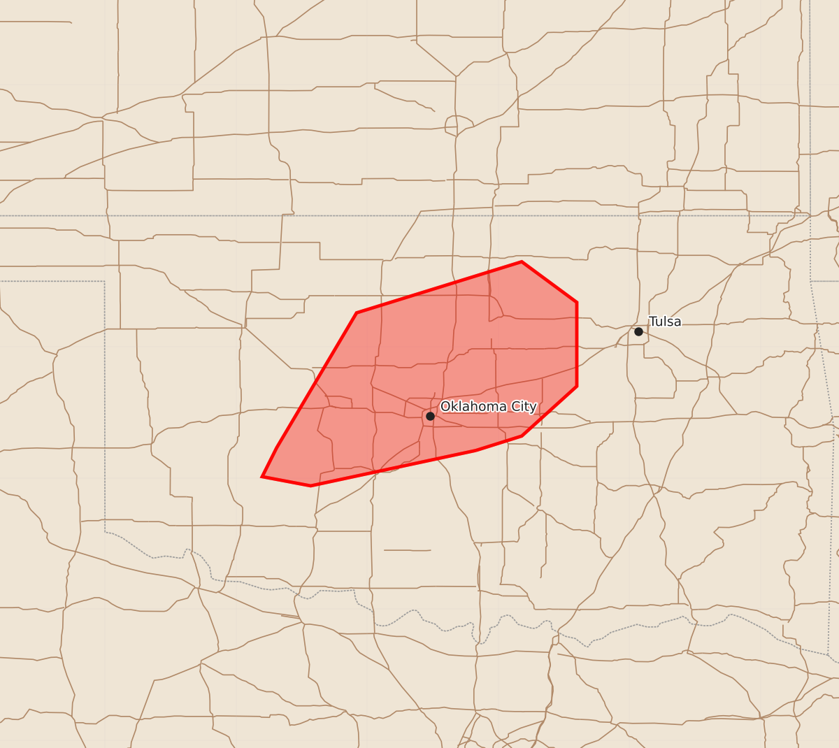
Summary
A tornado watch is in effect for central Oklahoma through the evening, with an increasing threat of tornadoes from linear storms.
Product Text
000 ACUS11 KWNS 030029 SWOMCD SPC MCD 030028 OKZ000-030200- Mesoscale Discussion 2437 NWS Storm Prediction Center Norman OK 0628 PM CST Mon Nov 02 2026 Areas affected...Central Oklahoma Concerning...Tornado Watch 701... Valid 030028Z - 030200Z The severe weather threat for Tornado Watch 701 continues. SUMMARY...The threat for QLCS tornadoes is expected to increase in central Oklahoma and eastward as storms encounter increasing low-level shear. A downstream watch into eastern Oklahoma will eventually be needed. DISCUSSION...A band of linear storms continues east-northeast into central Oklahoma. The observed 00Z sounding from OUN showed weak mid-level lapse rates, a capping inversion around 800 mb, and weakness within the hodograph around the inversion level. These are likely reasons why convection has struggled to intensify/organize. With time, however, the low-level jet will continue to intensify within central and especially eastern Oklahoma. Furthermore, lift from approaching shortwave trough should improve the thermodynamic environment. The threat for QLCS tornadoes will increase as storms interact with greater low-level shear. Severe wind gusts will remain possible. Large hail will likely remain isolated given the poor mid-level lapse rates and linear storm mode. A watch will likely be needed for parts of eastern Oklahoma this evening. ..Wendt.. 11/03/2026 ...Please see www.spc.noaa.gov for graphic product... ATTN...WFO...TSA...OUN... LAT...LON 35219717 34949843 35019880 35239869 36269808 36659682 36349640 35709640 35329682 35219717 MOST PROBABLE PEAK TORNADO INTENSITY...100-125 MPH MOST PROBABLE PEAK WIND GUST...55-70 MPH MOST PROBABLE PEAK HAIL SIZE...UP TO 1.25 IN